
Mount Kerkini (Belles) is the forested oblong mountain, located on the northern border of our country above Lake Kerkini in the Prefecture of Serres. It is one of the largest mountains in length since its length is about 70 km, and its highest peak is Kalambaka with an altitude of 2029m. In the international maps you will find it with its Bulgarian name which is Radomir. We had read about an easy route from the village of Kato Poroia to the village of Platanakia and we wanted to hike it. So we started from Thessaloniki for the western foothills of the mountain where Poroia and the beginning of our route is located.

USEFUL INFORMATION
Distance from Thessaloniki: 94,9 km
Place to eat: Mpougazi Tavern 15 € per person
European Emergency Number: 112
Fire Brigade Dept: 199
Medical Emergency: 166
|
Sidirocastro Forestry Dept: 2323022383 |
Kato Poroia – Platanalia
Route Information
Route Description: Hiking
Difficulty: Very easy
Route Length: 5,8 km
Water in route: Only at the villages (and in the streams too)
Duration: 1h and 5 min (going )
1h and 5 min (return )
Plus 30 min ( the route round Platanakia village)
The route took place at FEB 2022
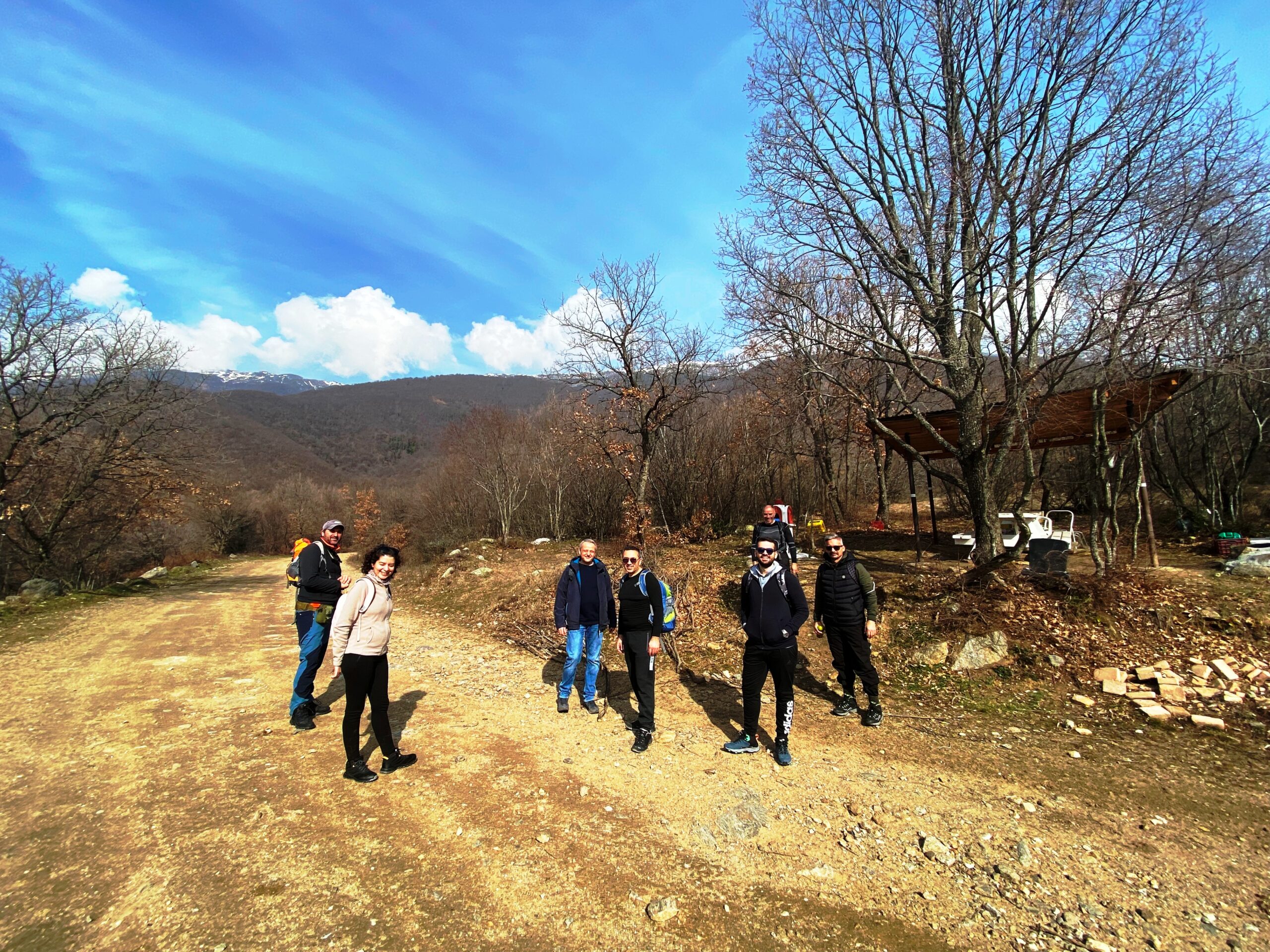
Team members: 8 adults
From the square in Kato Poroia we go to the Small claims Court. As soon as we see the court’s building we turn right (there is a small church on the corner) following the road, which after about 100 meters will take us to the beginning of the forest road that connects the two villages. At this place we park our cars, we get our backpacks and we begin our hike. At the beginning the road moves between the meadows and the farms but after the village stadium it slowly starts to enter in the forest. Beeches, oaks, kermes and plane trees, is the vegetation that surrounds us. The winter does not allow us to admire the greenery since most of the trees are deciduous, but it offers a wonderful view to the peaks of Belles Mountain in the north and to Mount Mavrovouni or Krousia farther to our southeast. The slopes of Belles are full of dense forests that are reaching the peaks. The winter palette of nature has painted them with all the shades of green and brown. Each gorge, each slope has a different color. And higher are the snow-capped peaks where the flow of the waters that flood the numerous streams of the area begins. The forest road leads us, with great ease and comfort, to Platanakia since it is wide and has no altitude differences.

We cross with beautiful streams that pass in front of us, continuing their journey to Lake Kerkini. We proceed, having west direction and we reach an intersection with the first provincial road that leads to the village of Makrinitsa. We continue straight ahead and we reach in little while at the intersection with the second provincial road that goes to Makrinitsa. At the point there is a small bridge.

From here we have two options. The first is to follow the provincial road by turning left in a southwest direction and reach the village of Platanakia in about 10 minutes. The second is to go across the the provincial road , cross the small stream in front of us and continue on the forest road that goes around the village in half an hour and a bit more. During this route, there are on our left several forest roads that lead to the village. This means that the whole cycle does not need to be done but we can take a shortcut.
We preferred the second option just to walk more time in the forest and in nature. Our direction is now north and we have the village on our left (without seeing it). In about 15 minutes we see a kiosk.

After the kiosk, almost a few meters away, we meet a fountain and the beginning of another forest road that goes down to the left, facing south. We walk towards the village passing through a forest with plane trees decorated with ivy and green grass decorated with small lilies. The stream that flows to our left once was bringing life to an old watermill and we see its ruins in a little way along. Without realizing it we reach the village in 20 minutes (from the second intersection). We meet the public road that crosses the village and we turn left having direction to the eastin order to go back to Kato Poria. At 500 m we meet the village stadium. We continue on the provincial road for about 500 m more and we find the intersection with the characteristic bridge we met on our coming and in our right hand the point where the forest road begins. We are turning right to the forest road, keeping the east direction nas we hike to our starting point from the same way that we came.
Our day ended in the village of Ano Pooria, which is 2.3 km from Kato Poroia. In a place called Mpougazi, in a beautiful plane tree forest, there is a tavern of the same name, where we had our lunch. We also tried the desserts at Antonis’ patisserie, located in the village square. Traditional desserts made from buffalo milk (there is a lot in the area). We have tried both places and we highly recommend them.
Our impressions? It is a very easy daily route, ideal for beginners which, depending on the season, will offer different landscapes and experiences.