
SHORT DESCRIPTION
Vermio is a mountain of Macedonia. It occupies part of the Prefecture of Imathia, the Prefecture of Kozani and the Prefecture of Pella. At its slopes, there are the cities of Veria and Naoussa. The mountain is verdant with chestnut trees, in higher altitude with oak and beech trees and just before the alpine zone with fir trees. The highest peak is called Chamitis with 2062m altitude and it is located near Naoussa.
We leave early in the morning from Thessaloniki, having destination the ski center 3-5 Pigadia. In about an hour and forty minutes, we are in the ski parking lot, all alone in the mountain lap, having as company the singing of the birds and the sun, which is slowly illuminating the slopes and the peak of Voulgara, where the main lift ends. We plan our route and off we go.
USEFUL INFORMATION
Distance from Thessaloniki: 110 km
European Emergency Number: 112
Fire Brigade Dept: 199
Medical Emergency: 166
Naoussa Forestry Dept: 2332025525
Naoussa Greek Mountaineers Association: 2332028567
Round route 3-5 Pigadia ski center(1430m) – Voulgara Summit (2005m) – Tsanakis Summit (2048m) – Chamitis Summit (2042m) – 3-5 Pigadia ski center
Route Information
Route Description: Hiking, Trekking
Route Length: 10,1 km
Water in route: No
Duration: 5h 30min (all the way, with stops)
The route took place at SEP 2019
Team members 4 adults
Our main goal is to conquer the mountain’s highest peak in 2062m. But along with the highest one, we have planned to climb both the two lower peaks, Tsanakis at 2048m and Voulgara at 2005m. The route starts from the base of the ski resort and has two directions. The first goes to EOS Naoussa refuge, then to Chamitis summit, from there to the next two summits and returns through the ski slopes, to the base of the ski resort. The second goes the other way. From the ski slopes, first to Voulgara, then to the next summits and through the EOS Naoussa refuge, back to the ski resort. We decided to take the second route and climb the ski slopes.
Voulgara Summit
We begin our route, heading to the central lift. We are passing it and we reach the beginning of the ski slope “Philippos” from where we are starting to climb. We are heading south, slowly gaining altitude by hiking in the middle of ski slope, which is like a grassy road, while on the right and left the tall beeches create a leafy and cool wall that borders the route.
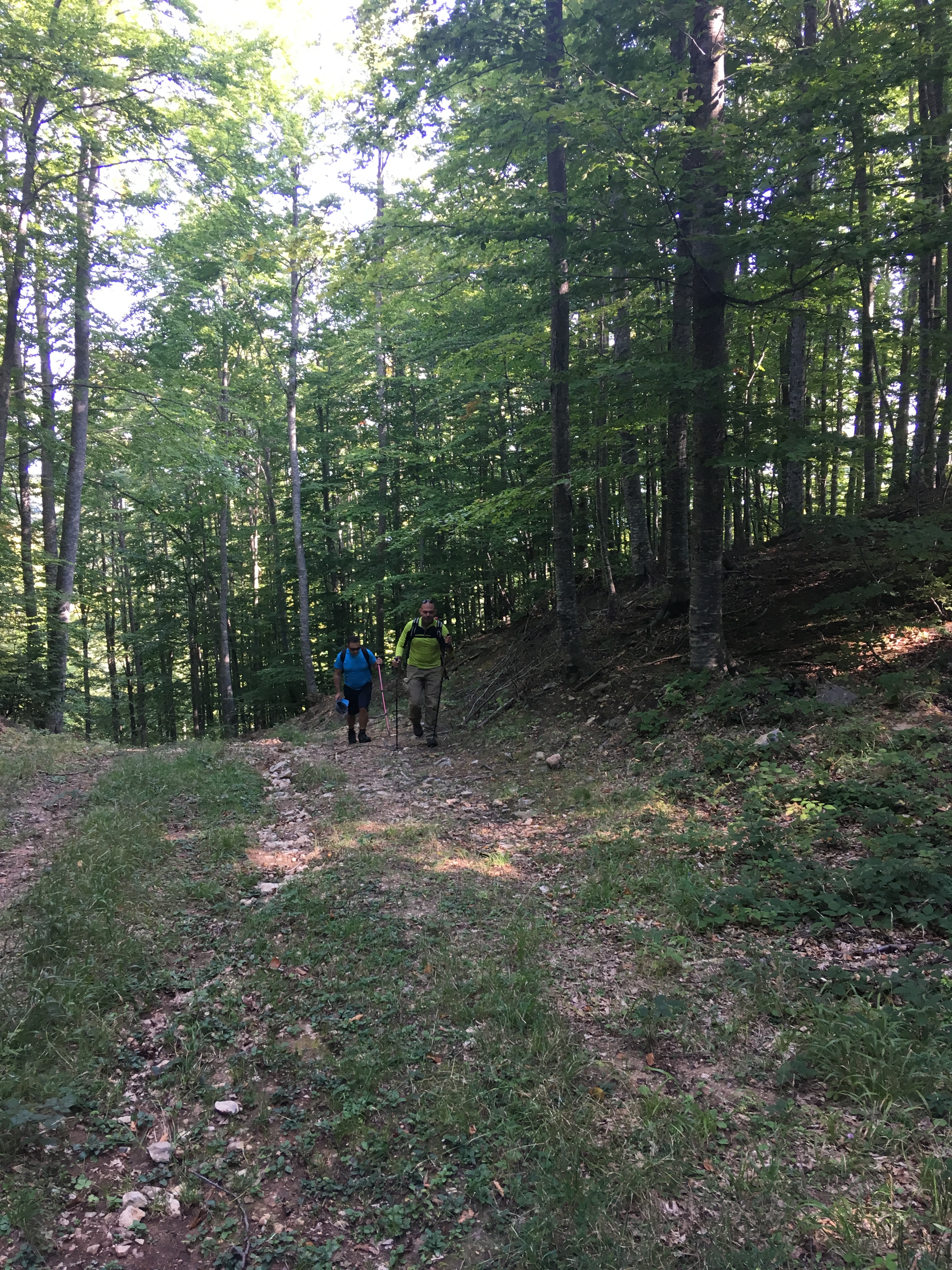
We continue to climb in the middle of the track with moderate incline, while the pleasant shade of the trees has left us for some time now, as the sun has risen quite a bit. We have walked about 1 km and the gradient suddenly becomes steep, so we have move west, on a short route that joins the track “Philippos” with the track “Aristotelis”. At the end of the route, we turn south again, trekking near the edge of the forest, in the shade of the firs and the oaks. We continue to hike steeply enough now, having the ski track on our right and heading for our first peak. We are climbing the last really hard steps and here we are, on our first target. Voulgara summit (2005m) where the lift stops and the second and smaller ski chalet is located.

We make our first stop for rest and for the necessary photos. We admire the wooded slope of the mountain for a while with the grassy ski tracks in front of us and the hawks that flying over our heads.
Tsanakis Summit
We start again, heading west. We pass the ugly building of the telecommunication antennas continuing on the earth road that exists to serve the small upper chalet. The landscape has now changed. In front of us there is a large plateau with scattered hills and alpine meadows with shrubs and low grass.

We have to cross this plateau to the other end, to reach Chamitis, the highest peak of the mountain. But on our way there is Tsanakis summit. We continue hiking on the forest road for another 15 minutes, until we meet another forest road. We go across, entering the plateau without following a certain path, because there is no any. We continue trekking west, in a smooth and easy terrain, interrupted by small and large rock formations, which you can easily bypass. Our route is pleasant, having the weather as an ally, as we are accompanied by light clouds that protect us from the sun and the heat. After about 40 min of hiking, we can clearly see the peak of Tsanakis. It is a smooth hill with a tiny chapel at the top, which is the characteristic feature.
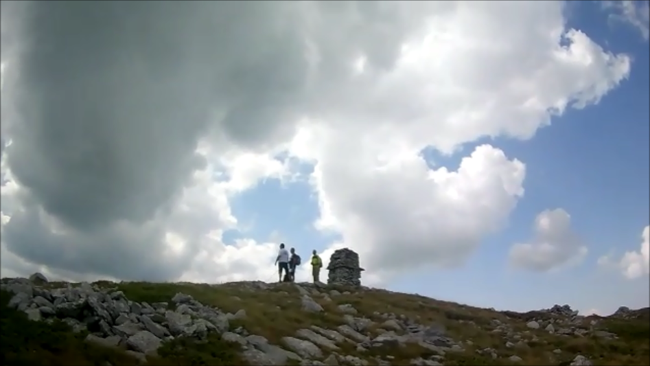
We reach the second highest peak of the mountain, at 2048m, in about an hour. We admire the view and rest for a while, so as to continue on to the third peak.
1 thoughts on “Vermio Mountain – Summits Vulgara – Tsanakis – Chamitis”
Comments are closed.